Pakistan on Monday rejected India’s claims regarding the status of Jammu and Kashmir, describing them as “baseless” and contrary to internationally recognised facts.
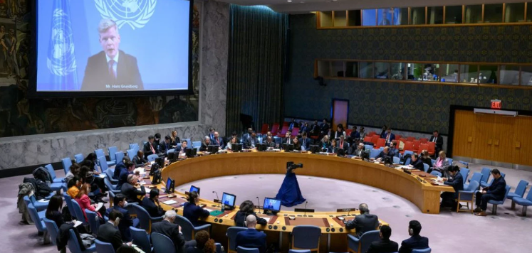
The Foreign Office’s statement came after the United Nations General Assembly on Friday adopted a resolution backed by several African countries calling for a more accurate representation of global landmasses. India was among 164 countries that voted in favour of the resolution.
The Indian Ministry of External Affairs, however, said on Sunday that the resolution did not endorse any particular map, projection or depiction of natural boundaries. It maintained that Indian territory, including Jammu and Kashmir and Ladakh, should be shown according to its “official map”, calling any deviation unacceptable.
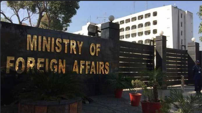
Responding to the Indian position, Foreign Office spokesperson Sajjad Haider Khan said Pakistan “categorically rejects India’s baseless assertions” regarding the status of Jammu and Kashmir.
He said India’s unilateral actions and continued occupation could not change the territory’s internationally recognised disputed status.
Khan described the Kashmir dispute as one of the oldest unresolved issues on the UN Security Council’s agenda. He said relevant UN resolutions called for the territory’s final status to be determined in accordance with Security Council resolutions and the will of the Kashmiri people through a free and impartial plebiscite under UN auspices.
The spokesperson said official UN maps, which show Jammu and Kashmir as a disputed territory, remained the appropriate cartographic representation of its current legal status.
He added that India’s official maps and unilateral claims of sovereignty had no bearing on the status of the disputed territory.
The Foreign Office also urged the international community to press India to end alleged human rights violations in Indian-administered Jammu and Kashmir and fulfil its commitments regarding the Kashmiri people’s right to self-determination in accordance with relevant UN Security Council resolutions.
The UN resolution endorsed the Equal Earth cartographic projection as an option for improving the accuracy of global maps. It encouraged member states to consider adopting it instead of the traditional Mercator projection, which was developed by Flemish cartographer Gerardus Mercator in 1569 primarily for maritime navigation.
The United States criticised the resolution, arguing that such initiatives were contributing to a loss of credibility for the international organisation.